Montreal's biggest snowstorm of the year could arrive just in time for Valentine's Day
Love is in the air — along with difficult weather. ❄️💘
Cold temperatures are also sticking around.
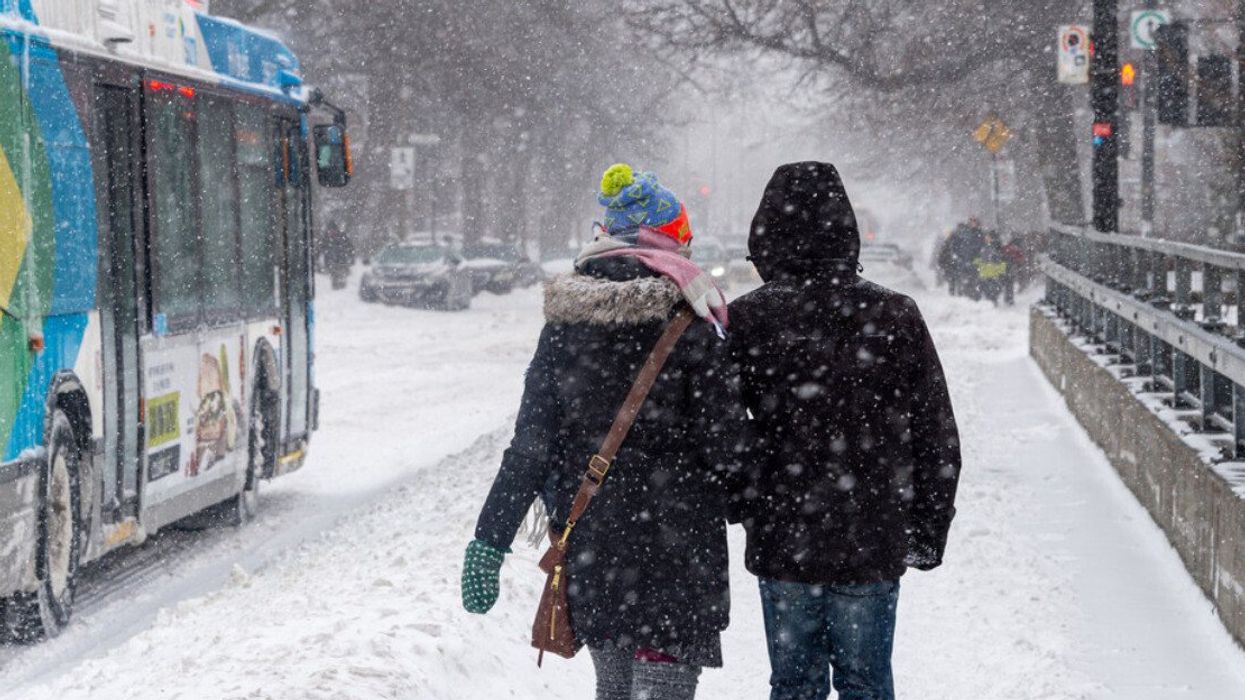
Montrealers might be counting down the days until spring, but winter isn't done with us yet. A major snowstorm — the biggest of the year so far — could hit this week, just in time to shake up those Valentine's Day plans.
According to The Weather Network, a major system from the southern U.S. is expected to push north toward Quebec, potentially turning our midweek into a winter wonderland.
While the start of the week will be cold but relatively calm, things are likely to take a snowy turn by Wednesday night. Forecasters predict 5 to 10 cm of snow overnight into Thursday — but depending on the system's trajectory, totals could exceed 15 cm in and around Montreal as the weekend approaches. If that happens, this could officially become the city's most significant snowfall of the season.
In addition, the snow that falls over the next few days is likely to stay on the ground, as Quebec finds itself in a prolonged period of cold weather. In Montreal, temperatures will range from -17 C to -4 C by Thursday and as low as -28 C on Wednesday.
According to a Weather Network report, the city hasn't seen a single snowstorm with more than 15 cm of snow this winter—something that hasn't happened since 2002.
Here are a few weather highlights you can expect to endure this week:
- Light snow early in the week
- Up to 10 – 15 cm or more starting Wednesday night
- Cold temperatures sticking around all week (-17 C to -4 C)
- Windchill could make it feel like -28 C on Wednesday
Other regions, including Outaouais, Laurentides, Montérégie, and Témiscamingue, may see even heavier snowfall than Montreal as storms overtake southern Quebec in the coming days.
Whether this turns into the biggest storm of the season or just a typical snowy day, one thing's for sure — it's going to come down. We suggest keeping an eye on weather updates and advisories from Environment Canada, especially if you have travel plans this week.
AI tools may have been used to support the creation or distribution of this content; however, it has been carefully edited and fact-checked by a member of MTL Blog's Editorial team. For more information on our use of AI, please visit our Editorial Standards page.