Montreal's New Purple STM Metro Line
Times are changing for public transit in Montreal, largely due to the city-wide light rail system that will be connecting the island like never before, providing a quick and easy mode of transport into the city for those living outside of Montreal's urban core.
Set to be completed by 2020, the light rail system (which will connect the West Island, South Shore, North Shore, and airport) is being spearheaded by the Caisse de dépôt et placement du Québec (CDPQ), who will also be paying for a majority of the $5 billion project.
24 stations will make up the new network (check out where they will be located here) and, in order to facilitate the utmost transport-convenience, the light rail system plans to connect to existing STM metro stations.
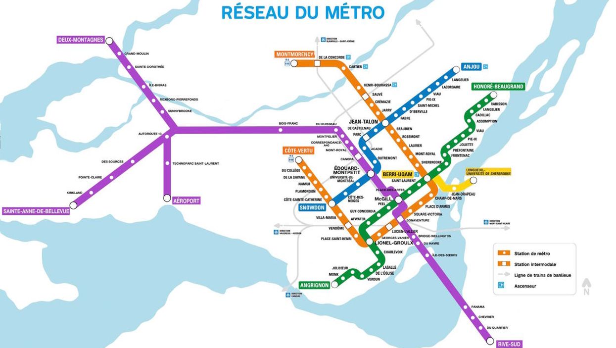
With that in mind, Montreal redditor AdviceAdam decided to reimagine Montreal's metro map, with the Caisse's light rail system included.
Recreated as the "Purple Line," the map provides a solid visual of what the city's new public transit network will look like come 2020 and a better contextualization of where the stations will be located throughout the island.
The Caisse released a similar map when the project was announced (below) which also showcases where the new light rail will connect to the STM network. But in truth, the Caisse's map is far less visually appealing than AdviceAdam's Purple Line map, so we're going to stick to the latter for the time being.
And even though the Purple Line is "unofficial," we're hoping the STM and Caisse truly do coordinate the fullest extent and work together to unite Montreal, as the map implicitly suggests. Because nothing would be worse than two competing public transit networks, especially if you'll rely on using both.
