Parts of Quebec are under a freezing rain warning with up to 20 mm of precipitation expected
Some extreme weather leading into Easter weekend.
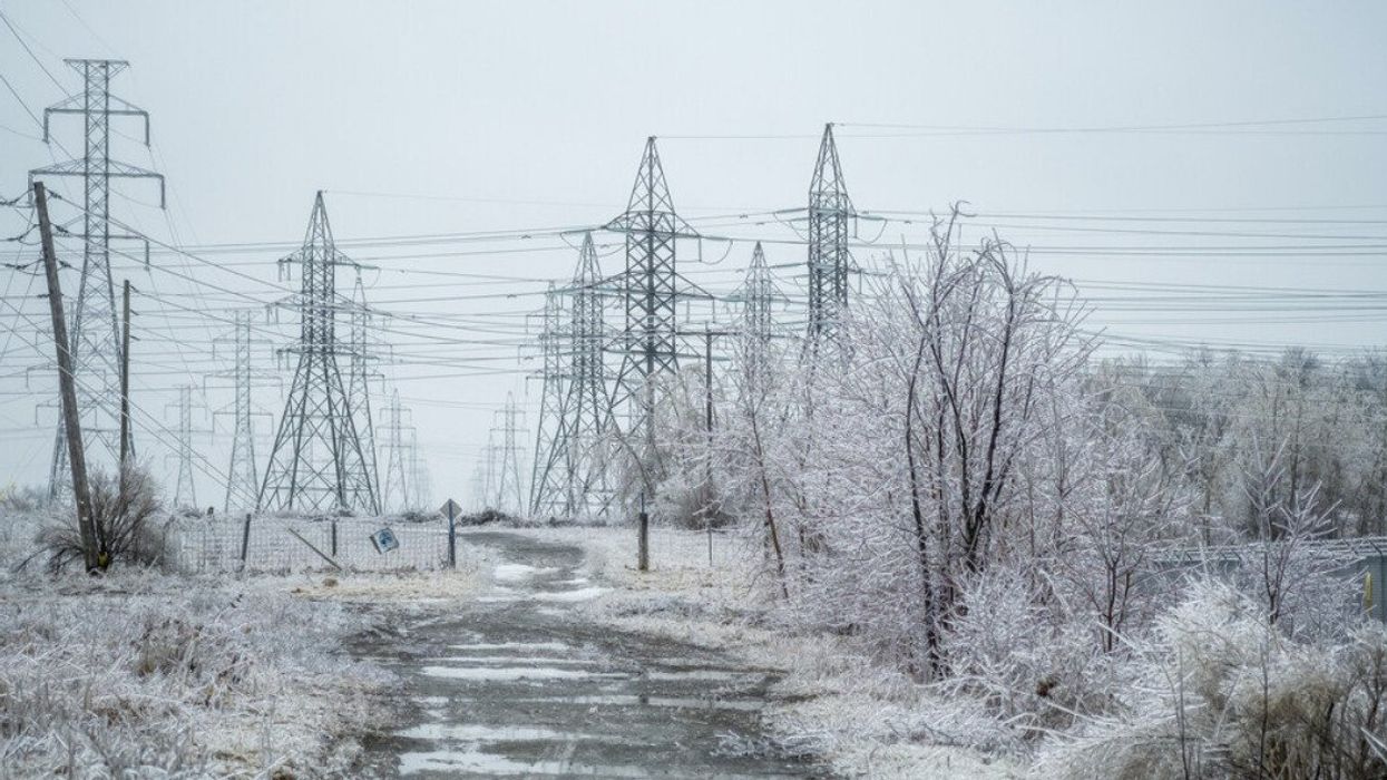
An electrical power field covered in freezing rain.
Residents across Quebec may be checking the skies and wrapping up warm this week as a large weather system looms over Eastern Canada, threatening climatic extremes.
From Tuesday to Thursday, a weather pattern will sweep across the province, drenching the west in heavy rain and pummeling the east with sleet, while northern areas are in for a messy mix.
"The exact location and freezing rain totals… will depend on the storm track, as well as the fluctuating temperatures," writes The Weather Network. Freezing rain warnings are currently active for Bas-Saint-Laurent, Gaspésie, and Côte-Nord.
Accumulations could get up to 20 mm, especially along the North Shore, while the Gaspé Peninsula and Bas-Saint-Laurent could see around 15 mm — a recipe for icy roads and treacherous travel, with a heightened risk of localized power outages.
The widespread weather event is expected to disrupt the days leading to the Easter weekend, bringing rain to a chance of some serious snowfall next week, especially in eastern Quebec. Further south, regions like Montreal, Montérégie, and Estrie are in for milder weather.
According to Environment Canada, Montreal and surrounding areas will see increasing cloudiness by Tuesday morning, with temperatures peaking at a mild 12 C. The evening will have cloudy skies and a few showers, dipping to a low of 5 C.
Wednesday will see a break in precipitation, with showers expected to stop in the morning, giving way to a mix of sun and cloud. The temperature is set to climb to a comfortable 14 C, but don't be fooled by the temporary warmth. Overnight, the temperature will settle at a cooler 4 C.
Thursday maintains the overcast trend, with a high of 8 C and no sign of the sun. Cloud cover will continue into the night, with temperatures barely holding above freezing at 1 C.
The forecast for Friday hints at a slight improvement with a mix of sun and cloud. The high will remain at 8 C, and by nightfall, temperatures are expected to drop below freezing, marking a low of minus 2 C.
Saturday is expected to be sunny, with a high of 7 C. However, the clear skies at night will allow temperatures to fall to minus 5 C. The sunny trend continues into Sunday, with a high of 6 C, but once again, the night promises to be cold, with temperatures dropping to minus 7 C.
Spring weather in Quebec never comes with guarantees, except, of course, for the certainty of change.