Montreal will finally warm up this week — but freezing rain and 40 km/h winds are coming
We're also getting some snow.
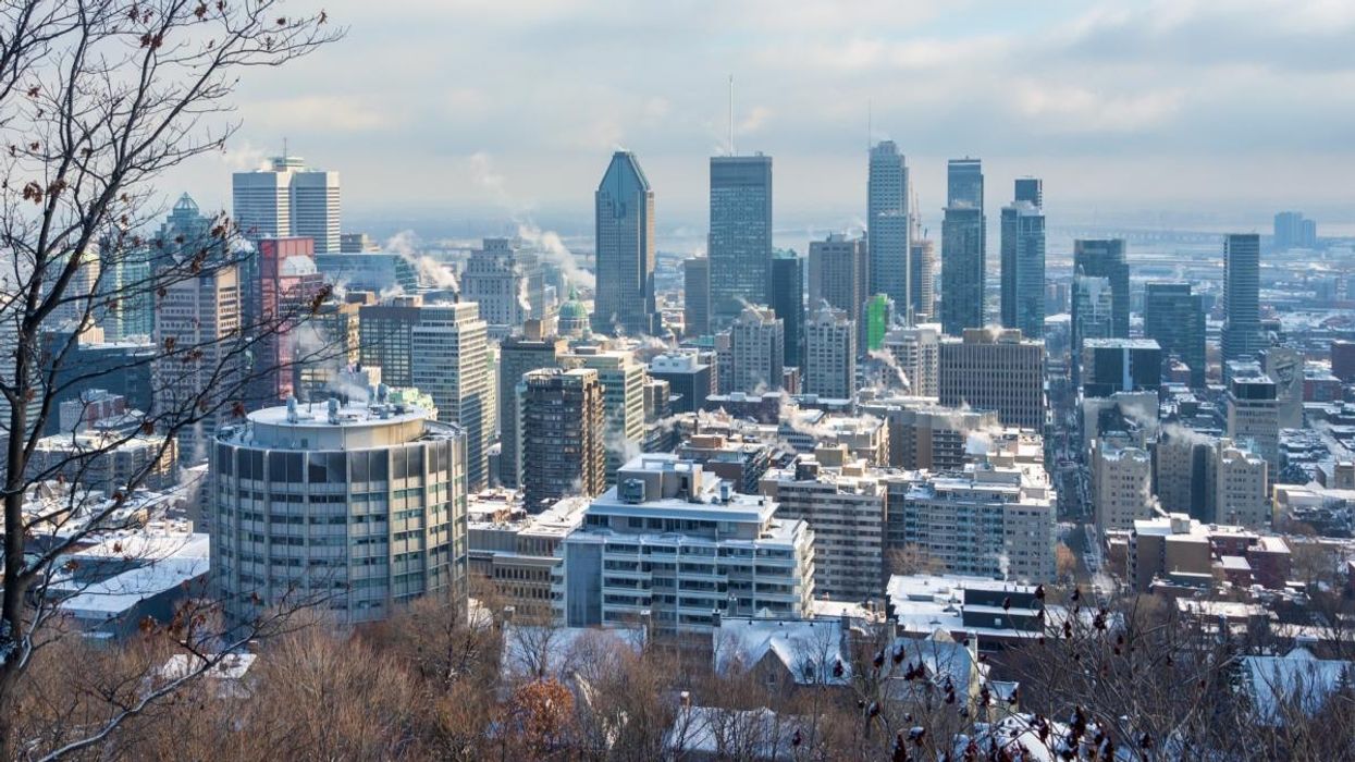
After weeks of bitter cold, Montreal is finally getting a brief break from the deep freeze.
Temperatures are expected to climb closer to what you would normally expect in December, with daytime highs hovering around the freezing mark and even pushing a few degrees above zero midweek.
That said, the warmer weather is arriving with some strings attached.
According to a new report from MétéoMédia, the shift in temperatures is being driven by a low-pressure system that is set to bring a mix of snow, rain, gusty winds, and potentially icy conditions across southern Quebec, including Montreal.
Here's what we can expect over the next few days.
A brief break from the cold
December has been unusually cold so far in Montreal. MétéoMédia notes that average temperatures during the first half of the month were about 5 degrees colder than normal, which is a significant departure from seasonal norms.
That changes on Wednesday, December 17, when temperatures in the Montreal region are expected to reach around 3°C. It will be one of the few times this month where the thermometer climbs above the freezing mark.
While southern regions like Montreal, Montérégie, and the Outaouais will see the warmest air, other parts of the province, including Estrie, Beauce, and Capitale-Nationale, will sit closer to zero.
Mixed precipitation and a risk of ice
The warmer temperatures are being pushed in by a system that begins affecting Quebec on Tuesday night. Snow is expected to start in northern regions overnight before spreading south into the St. Lawrence Valley by Wednesday morning.
For Montreal, that means a messy mix of precipitation. MétéoMédia's weekly forecast is calling for snow and rain on Wednesday, with temperatures hovering close enough to zero that freezing rain or ice pellets cannot be ruled out, especially if conditions shift slightly.
Areas north of the river, such as the Laurentians and parts of the Outaouais, are expected to see a higher risk of icy precipitation, but Montreal could still experience slippery conditions during heavier bursts.
Strong winds could worsen conditions
Snow totals in Montreal are expected to remain fairly low, with less than 5 cm forecast. Still, MétéoMédia warns that even modest accumulation should not be taken lightly.
Snow squalls are possible on Wednesday, bringing short but intense bursts of snowfall that can quickly reduce visibility on the roads. Wind gusts could exceed 40 km/h in some areas later in the week, including around Montreal, which may lead to blowing snow during those squalls.
What the rest of the week looks like
The relatively mild stretch is expected to continue into Thursday, with temperatures staying near or slightly above zero and continued chances of rain or mixed precipitation.
Colder air is expected to return by Friday, with rain potentially changing back to snow as temperatures drop below -10°C into the weekend.
In other words, the cold is easing up, but the trade-off will be a few days of sloppy, unpredictable weather. If you are heading out midweek, it is a good idea to plan for slick sidewalks, reduced visibility, and gusty winds, especially during peak travel times.