Montreal Weather Is Keeping Winter Alive With More Snow In Store This Week
Temps are also expected to drop. 🥶
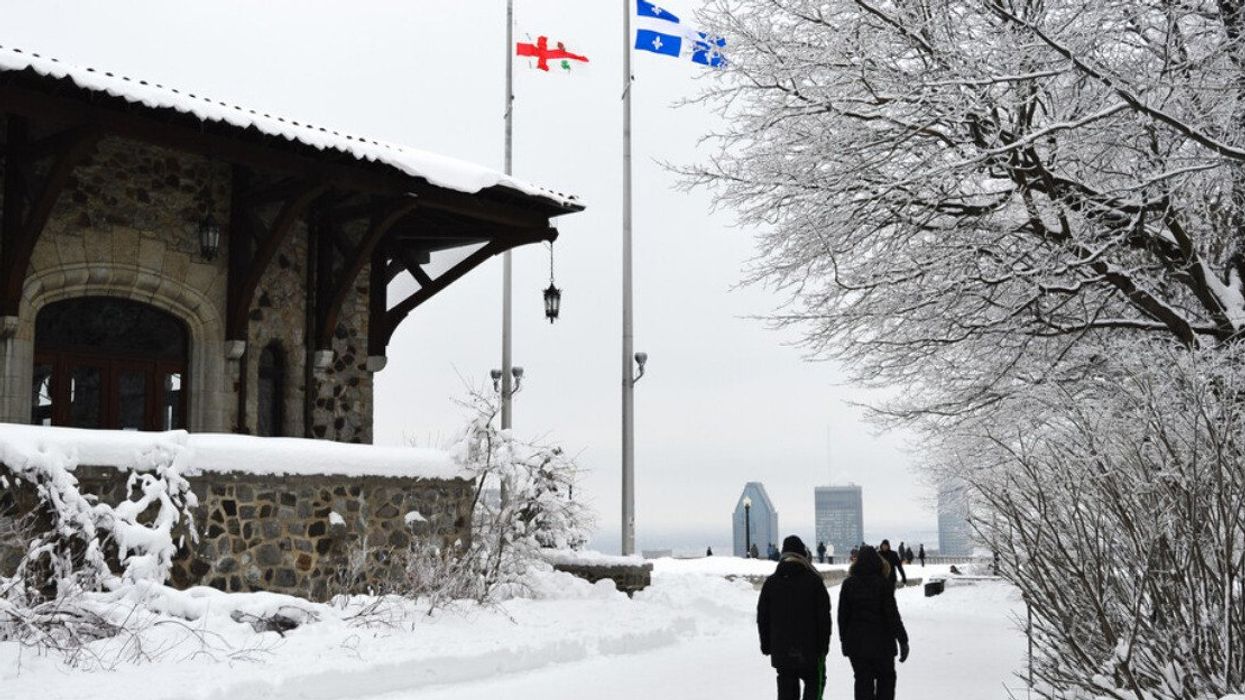
People walk in snow toward the Mount Royal outlook.
Montreal is getting a fresh layer of snow this week, a sign that winter is far from over. Despite a warmer-than-usual season that has seen the city get a fraction of its typical snowfall, the forecast suggests there will be a return to chillier conditions this month.
A low pressure system from the north is set to bring a drop in temperatures across Quebec, including Montreal. The change will not only cover the city in a new blanket of snow but also cause a significant melt over the weekend, followed by a refreeze midweek. The cycle is expected to create hazardous ice patches on roads and sidewalks, potentially complicating commutes for both drivers and pedestrians.
The temperature contrast will be noticeable, with MétéoMédia forecasting a 14 C drop by Wednesday, making for a chilly reminder of the season. Cities like Gatineau, Quebec, and Saguenay, along with Montreal, will experience the sharp temperature decline, moving from mild to markedly colder conditions in a matter of days.
With wind chill the temperatures feel even colder than the thermometer suggests. In Montreal, wind chill values up to -15 C are anticipated, with other regions like the Laurentians and Saguenay expecting even lower.
Environment Canada's detailed forecast aligns with the chilly predictions, expecting a mix of sun and cloud with a 30 percent chance of flurries on Monday and a steady temperature near 2 C. However, the real change kicks in Tuesday night with snow forecasted, leading into a week marked by clear, sunny days interspersed with periods of snow, particularly towards the weekend.
On Wednesday, you can expect a high of -3 C during the day and dropping to -11 C at night under clear skies. Thursday will offer some sunshine and a high of -3 C, but the night will see the return of snow, with temperatures falling to -7 C.
Friday will bring periods of snow with a high maintaining at -3 C, but the night will see a significant drop in temperature to -17 C during cloudy periods. The weekend lightens up slightly with a mix of sun and cloud on Saturday, a high of -9 C, and a night-time low of -14 C. Sunday continues this pattern with similar conditions, offering a high of -5 C.
Despite the unusual warmth and less snow this season, Montreal's winter is showing it still has some punch left. So, keep your warm clothes handy and keep an eye out for potential icy patches after the snow falls.