Environment Canada has quietly debuted a new weather alert map that displays active advisories, watches and warnings. Unlike the old map, a still, white image with provincial and regional boundaries in black, the new map is interactive, allowing users to zoom in on their area, identify individual towns, cities and major roadways, and click on colour-coded alerts to view important weather information.
The map is years in the making.
"Environment and Climate Change Canada (ECCC) has been engaged in a project to modernize its weather website in stages to improve users' access to important weather information," spokesperson Samantha Bayard told MTL Blog.
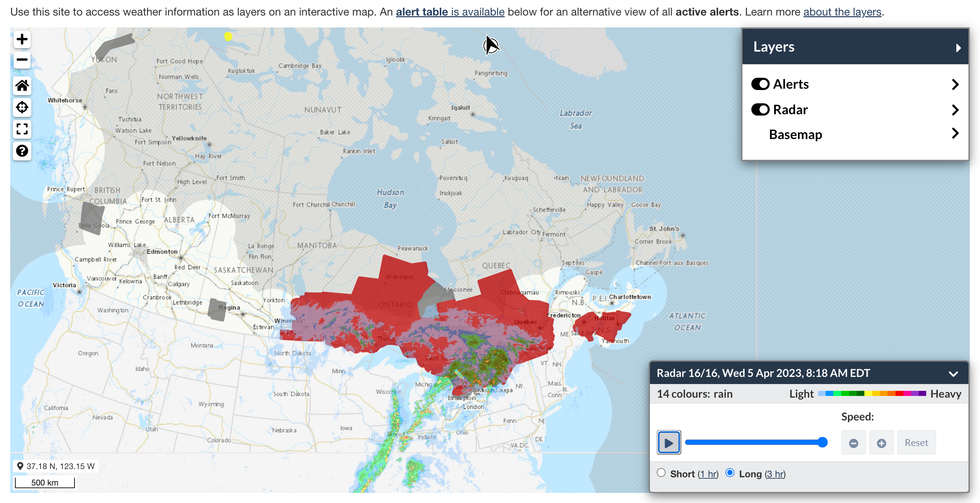
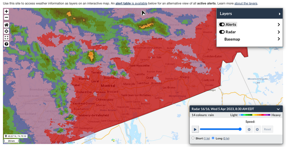
The map interface, including a layer that shows one and three-hour radar movements, actually dates to March 2021. New in March 2023 is the weather alert layer. When both layers are active, viewers can see storm systems moving over areas for which ECCC has triggered warnings or issued special weather statements.
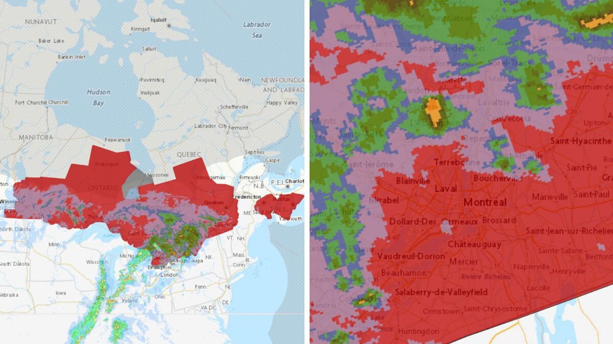
 The interactive ECCC map with layers showing weather radar (blotches of green, blue and yellow) and areas subject to weather warnings (patches of red).Environment and Climate Change Canada (ECCC)
 The interactive ECCC map with layers showing weather radar (blotches of green, blue and yellow) and areas subject to weather warnings (patches of red) in southern Quebec on. April 5, 2023.Environment and Climate Change Canada (ECCC)
ECCC has also moved the map to the weather.gc.ca homepage.
"The weather alert information layer has been added to the weather map to give the user more ways to interact with the information, and to visualize weather alert information and make informed decisions in real-time," Bayard said.
"Adding additional layers of weather information in a map format will benefit users as they will be better able to make connections between the weather information they see."
She also teased future additions to the interactive display: layers depicting current conditions, forecast conditions and lightning.