Will we get a white Christmas? Here's how Montreal's weather looks this week
We're in for a snowy few days leading up to Christmas...
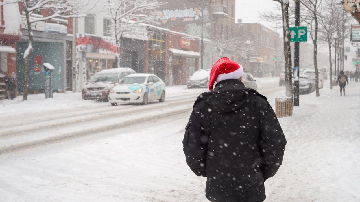
Montreal residents can expect a mix of clear skies and snow squalls over the next few days, with the most significant snowfall arriving midweek.
Most Montrealers would agree that winter is pretty rough. Between freezing rain, bitter cold, and lack of daylight, Quebec's longest season has a way of getting under your skin.
However, there's one winter tradition that makes it all (almost) worthwhile: waking up to a blanket of fresh snow on Christmas morning.
Back in November, the Old Farmer's Almanac predicted that southern Quebec would experience "very cold" temperatures and snowy conditions throughout the holidays, giving us hope that we'd wake up to a real-life snowglobe on December 25. Now, with Christmas just days away, those predictions are starting to look pretty accurate.
According to the latest forecasts from Environment Canada and The Weather Network, Montreal residents can expect a mix of clear skies and snow squalls over the next few days, with the most significant snowfall arriving midweek.
Sunday, December 21
Today started with a few flurries and snow squalls this morning, dropping around 2 cm of snow locally, according to Environment Canada. The afternoon will bring a mix of sun and cloud, with temperatures falling to -4°C and wind chills making it feel closer to -13°C.
The Weather Network reports afternoon temperatures around -2°C (feeling like -10°C) with strong westerly winds gusting up to 53 km/h. Tonight will be partly cloudy with temperatures dropping to -12°C, feeling like -20°C overnight.
Monday, December 22
Environment Canada predicts cloudy skies with periods of light snow beginning near noon. The high will reach -6°C, though the morning wind chill will make it feel like -17°C.
The Weather Network notes that morning temperatures will start at -12°C (feeling like -19°C) with a few flurries possible throughout the day. Less than 1 cm of accumulation is expected, with a 40% chance of snow.
Tuesday, December 23
This is when things get interesting. Both forecasters agree Tuesday will bring the most significant snowfall of the week.
Environment Canada's forecast simply states: "Snow. High minus 3," with snow continuing overnight and a low of -4°C.
The Weather Network provides more detail, predicting light snow in the morning (1-3 cm) that will intensify in the afternoon with 2-4 cm expected and an 80% probability of precipitation. Evening snow will add another 1-3 cm, with total accumulations potentially reaching 4-7 cm by day's end.
Wednesday, December 24 — Christmas Eve
The snow should taper off by Christmas Eve morning. Environment Canada calls for a mix of sun and cloud with a high of -1°C, though cloudy periods return at night with a low of -7°C.
The Weather Network predicts a mix of sun and clouds during the day (high of -4°C), with a few flurries possible in the evening and overnight (less than 1 cm), with a 40% chance of snow.
Thursday, December 25 — Christmas Day
So, will we get a white Christmas? Almost certainly, thanks to Tuesday's snowfall.
Christmas Day itself will be relatively calm, according to Environment Canada, with a mix of sun and cloud and a high of -2°C. However, snow is expected to return Thursday night with a low of -2°C.
The Weather Network forecasts cloudy skies with sunny breaks during the day (high of -4°C, feeling like -7°C) and scattered flurries in the evening and overnight with light snow possible (around 1 cm accumulation) and a 60% probability of precipitation overnight.
Friday, December 26 — Boxing Day
The snow continues into Boxing Day. Environment Canada hasn't provided detailed specifics beyond Thursday, but the Weather Network predicts significant snowfall on Friday morning with around 5 cm expected and a 70% chance of precipitation. Scattered flurries may continue into the afternoon with temperatures around -10°C.
The verdict
Montreal is looking at a proper white Christmas this year, with the heaviest snow arriving Tuesday into Wednesday. If you're travelling for the holidays, Tuesday and Wednesday could be challenging on the roads, so plan accordingly and give yourself extra time.