Montreal Weather Is Predicting Even More Snow — Up To 30 cm Could Fall
Keep that snow shovel handy.
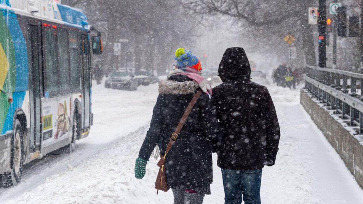
Two people walk on a snowy Monkland Avenue sidewalk.
Montreal started the week with a reminder that winter is coming. The city was covered in a substantial blanket of snow from Sunday evening to Monday morning. Environment Canada has issued a snowfall warning forecasting accumulations of up to 30 cm. The storm has brought the usual mix of traffic disruptions, power outages, and snow-capped beauty.
With temperatures hovering near the freezing mark, the snow is wet and weighty, making shoveling a more daunting task and road travel treacherous. It's the kind of precipitation that can increase the risk of power outages due to its heavy load on power lines and trees.
"This snow breaks branches and trees which come into contact with the power grid, causing power outages," according to Hydro-Québec, which said Montreal, Montérégie, and Estrie are most affected by the snow. Around 11,491 customers remain without power on the island at noon on Monday.
Météomédia reports that Montreal is not alone in experiencing the white stuff. Quebec, Sherbrooke, Sept-Îles, and Val-d'Or are also dealing with their share of snow, marking the season's shift into full winter mode.
The current weather system, which has been affecting Montreal and southern Quebec, is expected to continue through the end of Monday. Environment Canada's forecast suggests a mix of sun and cloud is expected on Tuesday, with temperatures falling to minus 7°C in the afternoon, and a wind chill near minus 11°C.
Nighttime temperatures are predicted to drop further, reaching lows of minus 12°C on Wednesday night and minus 13°C on Thursday night. The remainder of the week shows a mix of sun and cloud, with a high of minus 8°C on Thursday and a chance of flurries by Friday night.
In Montreal, the first major snowfall is like an uninvited holiday guest: arrives early, stays too long, and leaves a mess behind. Time to dig out your shovel — you'll need it.