Downtown Montreal is draped in over 30 cm of snow and there's more in store
"The snow is heavy, three to six times heavier than normal."
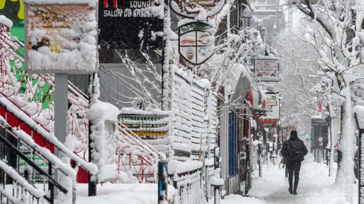
Someone walks down rue Saint Denis during a snowstorm.
Downtown Montreal is buried under 31 cm of snow, a generous gift from a low-pressure system that has been busy over Southern Quebec since Wednesday evening. And it's not done yet.
While Environment Canada officially lifted its snowfall warning as of 5:30 p.m. on April 4, more inclement weather is expected through the weekend.
Thursday promises more snow with a chance of blowing flakes in the evening, and temperatures hovering around 1 C. Friday will shift from light snow to rain, with a high of 4 C. The weekend offers a slight reprieve: cloudy but warmer on Saturday with a high of 7 C, leading into a sunny Sunday with temperatures reaching 10 C.
Blizzard blackout
So far, 30 cm of snow has fallen in Longueuil, 29 cm in Granby, and a more modest 5 to 10 cm in Gatineau. The snow, packed heavy on the ground and whipped up by winds of 40 to 70 km/h, has knocked out power in a number of areas.
In the early hours of Thursday, there were nearly 300,000 power outages across Montreal, the Laurentians, Lanaudière, Laval, Estrie, and Montérégie.
"The weather event is still underway and moving eastward, causing further power outages, said Hydro-Quebec. "The snow is heavy, three to six times heavier than normal."
A majority of households affected by the weather-related outages should have power back by the end of Thursday, according to the utility.
"Unfortunately, work will continue on Friday in some cases," they added. "Rest assured that every effort is being made to restore power as quickly as possible, while ensuring the safety of our employees in difficult conditions."
Snowball effect
With the storm expected to move eastward, Météomédia reports that Estrie and Beauce are next in line. The storm is predicted to reach the North Shore by end of day Thursday. Residents can expect a mix of rain and snow by Friday in Bas-Saint-Laurent and Témiscouata, with Gaspésie and the Acadian peninsula in for sustained snowfall that might stretch into Saturday.
Gaspésie is expected to receive 35 cm, with Charlevoix and the North Shore preparing for up to 30 cm. On the lighter side, Quebec City is forecasted to see just 5 cm.
Strong winds of up to 80 km/h could lead to more power outages and will make driving hazardous until they die down on Friday afternoon.