Montreal Weather Is Getting A Snowy Blast After All The Rain — Here's How Much To Expect
From wet to white in a few hours. ❄️
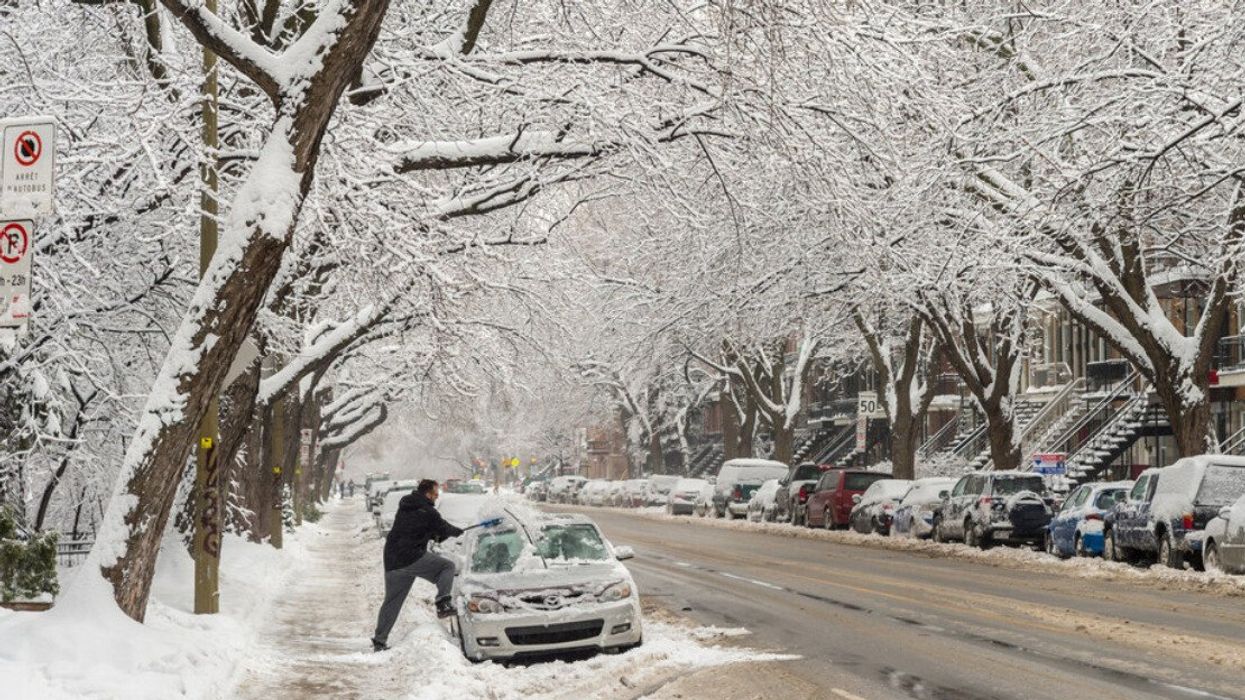
A person clears snow off their car on the side of a road covered in winter slush.
Montreal and surrounding areas are in the grips of a major storm, thanks to an unpredictable weather system. Originating from Western Canada, the system is expected to bring a mix of heavy rain and snow. The dramatic shift in weather could pose a challenge for commuters and city services due to rapidly changing conditions.
Montreal's meteorological mood swing
A variable weather system made its way into Quebec through Abitibi-Témiscamingue on Sunday, bringing high amounts of rain. Temperatures were above freezing in Montreal, causing precipitation to start as drizzle. Accumulation in the city ranged between five and 10 millimetres.
Heavier rainfall was noted in other areas, with Estrie, Côte-Nord, and Gaspésie receiving between 15 to 25 mm. Gaspésie, in particular, faced the most substantial downpour, with rainfalls of 40 to 60 mm, according to Météomédia.
Forecasted accumulations
As the system progressed, Sunday night saw a dramatic drop in temperatures leading to a transition from rain to snow in Southern Quebec. Montreal is expected to see snow accumulations of up to 10 centimetres. The Weather Network predicts higher amounts possible in the direction of the Eastern Townships.
Saguenay-Lac-Saint-Jean could get between 15 to 20 centimetres of snow, while Estrie and Bas-Saint-Laurent anticipate up to 30 centimetres, potentially reaching 35 cm in mountainous areas by Tuesday morning. Heavy, wet snow is raising concerns about power outages and travel disruptions.
A slippery start to the week
For Montreal, the switch from rain to snow is likely to create challenging conditions, particularly for Monday morning’s commute. Potentially icy roads and reduced visibility will necessitate extra caution for travellers and commuters.
As the day progresses, the storm's intensity is expected to decrease. Snowfall rates in Montreal are set to ease by Monday afternoon, with the transition to wet snow continuing to move north across Quebec City.
Environment Canada forecasts the day will remain cloudy, and the wind will gust up to 40 km/h. The breeze will make the zero-degree C temperature feel much colder, with an expected wind chill of -7 C in the afternoon. On Monday night, there will be cloudy skies becoming partly cloudy near midnight. Temps will reach -6 C, but the wind chill will make it feel like -7 C in the evening and -13 C overnight.
Looking beyond the immediate impact of the winter storm, brighter days are forecasted to follow. The Weather Network predicts several sunny days starting Tuesday, providing relief from the storm's aftermath and creating ideal conditions for outdoor winter activities.