Montreal just got hit with a winter weather warning and things are about to get slippery
Having to thaw out your car is always a treat!
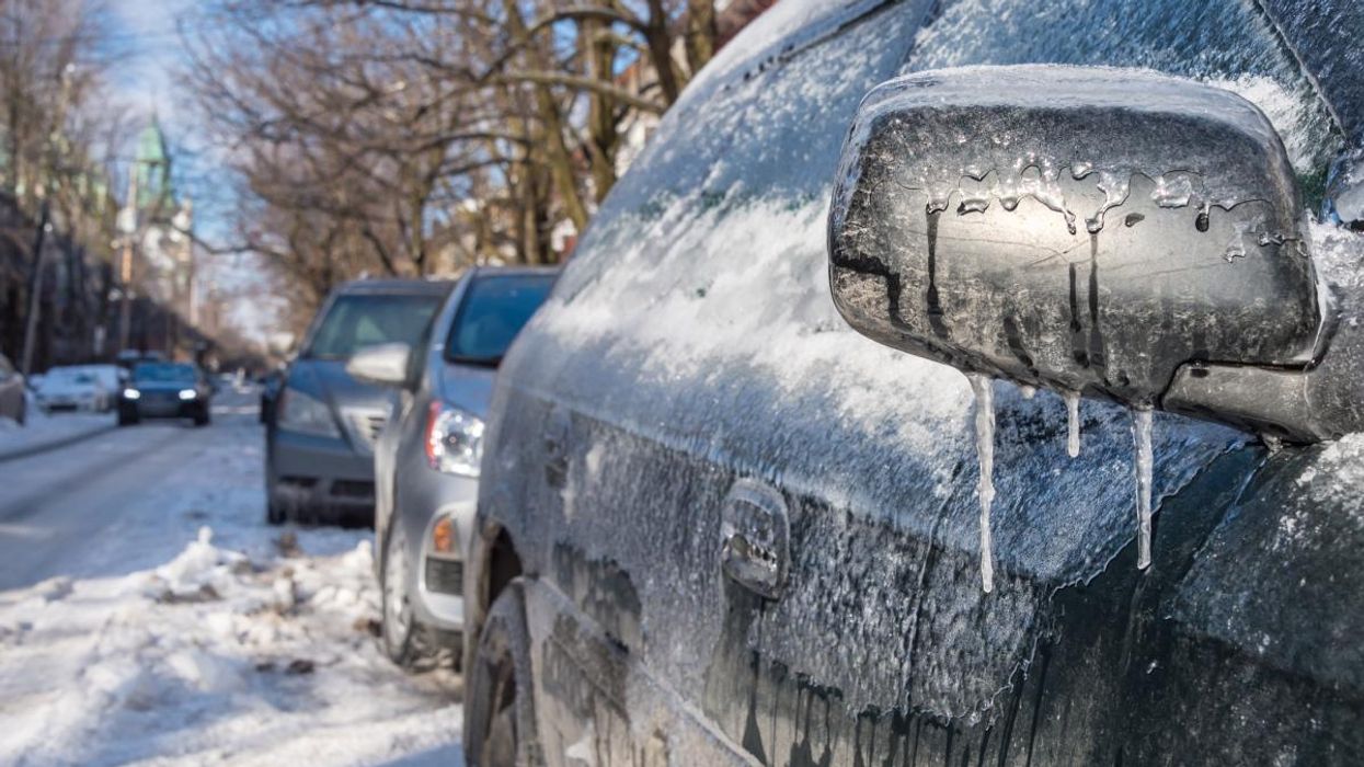
The weather warning covers Greater Montreal, the Laurentians, Lanaudière and the Lower Richelieu.
Montreal is in for a slick weekend. Environment Canada issued a weather warning for the city early Friday morning, and the timing looks messy, with ice expected right when the city is already dealing with a weekend-long STM shutdown.
According to the agency, up to 10 millimetres of ice accretion caused by frozen rain could form between Saturday evening and Sunday morning. That may not sound like much, but it is more than enough to glaze sidewalks, coat windshields, and make untreated roads feel like a skating rink.
The warning covers Greater Montreal, the Laurentians, Lanaudière and the Lower Richelieu. Environment Canada says travel could be locally difficult, especially overnight when temperatures sit right around zero. And since Quebec's winter tire deadline isn't until December 1, plenty of drivers will be hitting the roads this weekend without full winter traction.
Here's what the weekend forecast looks like for Montreal.
Friday: clear and cool
A mix of sun and cloud with a high of 3°C. Fog burns off in the morning, and the evening stays quiet with just a few clouds. Temperatures drop to –4°C overnight, feeling like –7°C.
Saturday: snow moves in
Clouds will thicken throughout the morning and afternoon, with light snow expected to begin late in the day. The high is around 0°C, with a wind chill near –6°C to start the day.
Things change quickly after sunset. Freezing rain or rain is expected to develop Saturday night, exactly when the full STM shutdown begins. With no metro or buses running due to the strike, more people may rely on cars, taxis or rideshares during the first real ice event of the fall. Roads and sidewalks may glaze over fast.
Sunday: icy start, messy finish
Any freezing rain left over from the night may switch to snow or rain during the day, with a high of 3°C. Even small amounts of ice can stick around in shaded areas or untreated sidewalks, so early morning travel may be especially slick.
Flurries continue Sunday night with a low of –2°C.
Early next week: grey but calm
Monday stays cloudy with a high of 1°C. Tuesday looks similar, reaching 2°C with cloudy periods overnight. No major systems are lined up right after the weekend, but temperatures will sit close to freezing, which means anything left on the ground could refreeze.
Environment Canada is asking people to keep an eye on updated alerts and forecasts before heading out. Between icy sidewalks, tricky driving and a full transit shutdown, this is shaping up to be one of the more complicated weekends of November.