Brace yourselves: Montreal could get buried by over 15 cm of snow this week
"Oh, the weather outside is frightful!" 🎶❄️
It's not technically winter yet, but Montreal appears to be getting a healthy head start.
Early this morning, Environment Canada dropped a special weather statement for the Montreal area, and it looks like we're in for a messy few days.
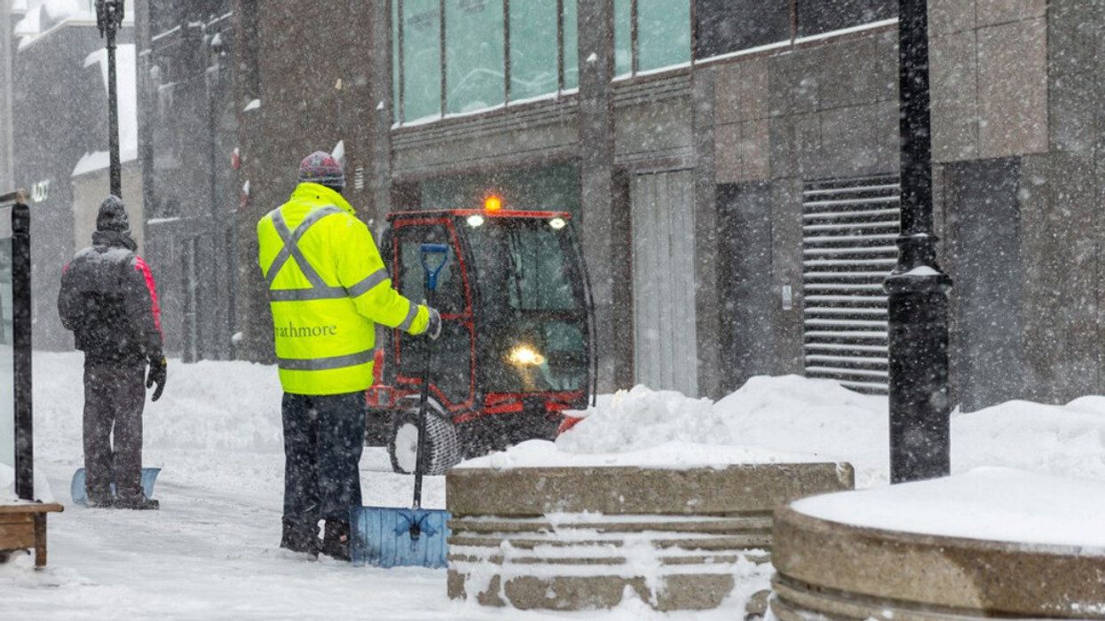
The weather agency is warning that more than 15 centimetres of snow could dump across southern Quebec starting Wednesday, December 10, and sticking around through Thursday, December 11. While that's great for folks hitting the ski and tubing slopes, the rest of us will have to make adjustments and pull out our shovels.
Given the timing, morning commuters will almost certainly be affected, especially if you're driving in the city.
"Travel conditions may become challenging due to reduced visibilities and accumulating snow on roads. In urban areas, rush hours on Wednesday afternoon and Thursday morning could be disrupted," the notice reads.
Things kick off with light flurries Tuesday evening, with temperatures hanging around -7°C overnight.
According to the weekly forecast, Wednesday will see periods of snow with about 5 cm piling up during the day as it warms up to -2°C. But the real action is coming Wednesday night into Thursday when the heavy stuff hits.
Getting around could get pretty rough with poor visibility and snow building up on the roads.
Thursday afternoon will also bring stronger winds, which means blowing snow that'll make it even harder to see in some spots.
Environment Canada says there's still some uncertainty about how this whole system will play out, so those snowfall totals might change.
In the meantime, it's best to keep an eye on weather alerts and forecasts as the storm rolls in.
Once the snow dies down to flurries Thursday night, Friday should be a bit nicer with a mix of sun and cloud and temperatures around -5°C. The weekend looks pretty tame, though Saturday has a 60% chance of flurries.