Montreal Weather Is Under A Rainfall Warning With Risk Of Floods
Melting snow is adding to water runoff. ☂️
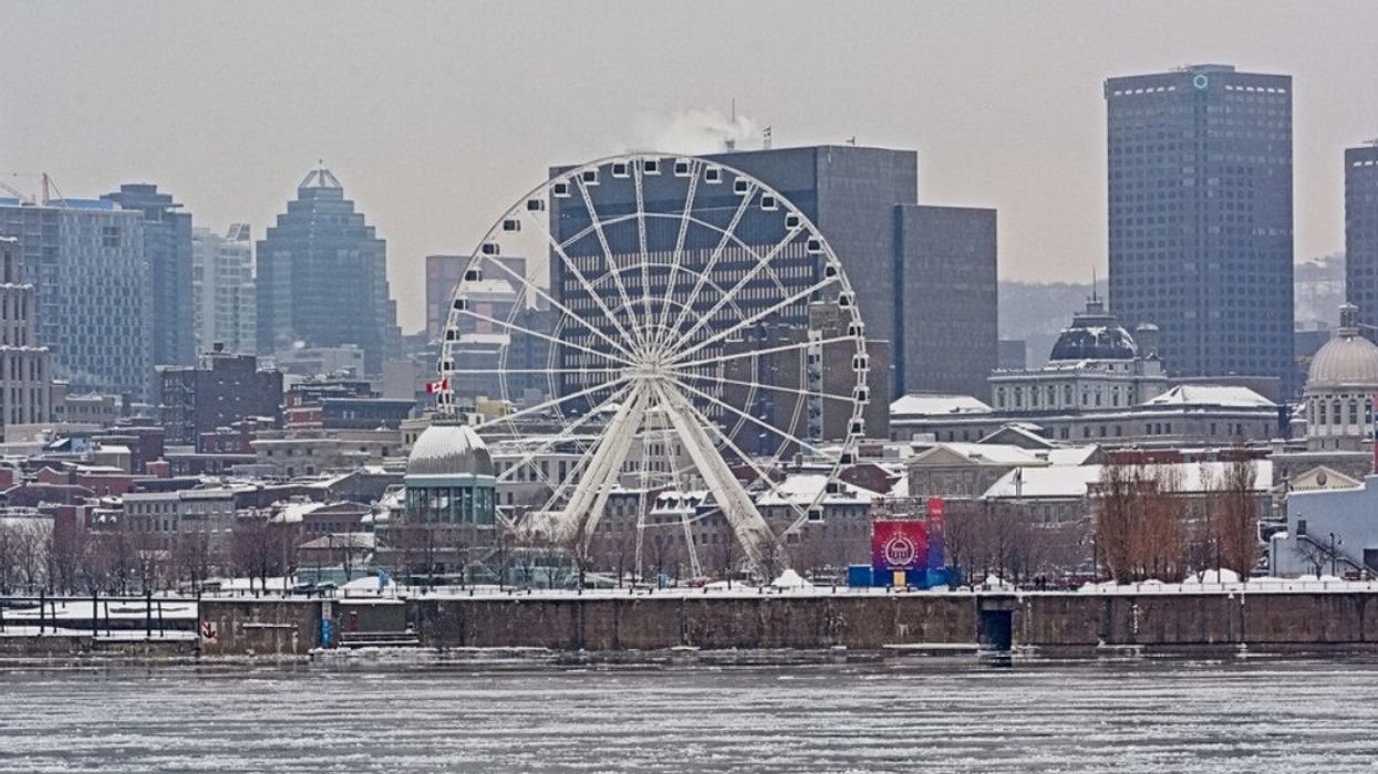
Montreal Old Port on a foggy winter day.
Montreal weather is known for its unpredictability, but the current forecast suggests a rare and prolonged period of heavy rain and potential flooding. The city, usually adept at handling swift weather changes, now faces a sustained downpour that may challenge even the most weather-hardened residents.
Environment Canada has issued a rainfall warning for Montreal and surrounding areas, including Laval. According to the advisory, heavy rain is expected and the frozen ground is less able to absorb the precipitation. A substantial amount of rain, between 50 to 80 millimetres is forecasted by this evening.
Complicating matters is the mild temperature, set to accelerate the melting of the existing snow cover. The melting, combined with the heavy rain, is expected to contribute to runoff, raising water levels in several rivers. Localized flooding is a real possibility, particularly in low-lying areas. The rainfall may also be accompanied by fog patches, further complicating visibility and travel conditions.
From flurries to floods
Milder winters, often influenced by El Niño, tend to favour rain over snow. According to MétéoMédia, winters marked by below-average snowfall, rain fills in the gap. December, historically the month receiving the most rain during such winters, appears to be living up to this trend.
The Weather Network describes the impending storm as a potential record-breaker for December. This unusual storm is expected to bring some areas their warmest-ever temperatures for this time of year, along with the possibility of record-breaking rainfall. The major low-pressure system, fueled by tropical moisture, could bring rainfall totals of 50-75 mm along the St. Lawrence River, with even higher totals, possibly exceeding 100 mm, around and north of Quebec City. The mix of heavy rains and existing snowpack heightens the risk of localized flooding.
This weather anomaly comes just weeks after Montreal experienced one of its largest early snowstorms. The Weather Network describes this as "a pretty rare storm for a week before Christmas Day." Typically, it's far too cold for such a high level of moisture in the atmosphere.
Montreal weather wandering off course
Looking ahead, mild weather is expected to return by Wednesday, with temperatures possibly remaining above seasonal averages through next weekend in southern Quebec. However, quick shifts to colder weather are also possible, extending even into eastern Ontario. As for a white Christmas, the odds are currently low across the province, but meteorologists are hesitant to rule it out completely. There's still a chance that a cold snap around December 23 to 25 could bring a dusting of snow, keeping the dream of a white Christmas alive.
The detailed forecast for the week from Environment Canada highlights the immediate concern: heavy rain today with temperatures holding steady near 9 C, followed by more rain tonight. The weather is expected to shift on Tuesday, with a few flurries ending in the afternoon and a drop in temperature to -2 C. The rest of the week shows a clear trend towards sunny, yet chilly, days with nighttime temperatures dipping as low as -8 degrees.
In the face of such unpredictable weather, Montrealers are advised to monitor local weather updates, and perhaps, most importantly, keep rain boots and snow shovels at the ready.