A Massive Montreal Storm With A Tornado Warning Drenched The City & We Marvelled At Nature's Fury
Quebec is currently grappling with a severe thunderstorm that has swept across the province, churning up powerful wind gusts and unleashing heavy rainfall. The storm is so severe that Environment Canada's meteorologists warn it could even spawn tornadoes, marking a potentially dangerous escalation.
Severe thunderstorm warnings are issued only when imminent or occurring storms are likely to produce one or more of the following: large hail, damaging winds, or torrential rainfall. Today, the conditions meet those criteria, putting authorities and residents on high alert.
In response to the escalating weather, Montrealers are advised to prepare for severe weather and take immediate cover if the situation worsens. With the added tornado potential, residents should consider moving to a room on the lowest floor of their homes, away from windows.
The storm has already wreaked havoc on power lines. In the regions of Laval, Montreal, and Montérégie, outages have occurred due to three high-voltage transmission lines going offline.
As of 5:31 p.m., Hydro-Québec reported 344,707 households without power, and reassured residents that their facilities remain intact and that teams will be working to restore power over the next few hours.
The storm has also led to traffic disruptions. Flooding has caused the closure of boulevard Décarie around Côte-Sainte-Catherine.
Hydro-Québec also advises charging electronic devices in advance, planning meals that do not require the opening of refrigerators or freezers, and considering reaching out to vulnerable community members to offer assistance or accommodation.
In case of a power failure, residents should unplug all electronic devices to protect them from potential power surges during service restoration. Hydro-Quebec also suggests keeping appliance doors closed to maintain internal temperatures. A full freezer can keep food frozen for up to 36 hours if the door is kept closed.
The storm system is expected to move east. As Hydro-Quebec teams mobilize to address the issues, residents are urged to remain indoors, especially during periods of intense thunder. Remember: when thunder roars, go indoors.
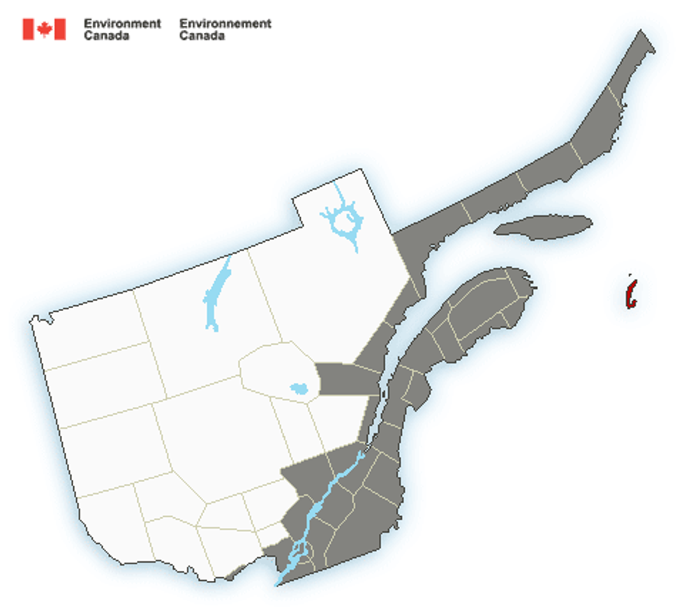 A map of southern Quebec showing the areas covered by a special weather statement (in grey) ahead of an expected snowstorm in the week of January 23.
 A map of southern Quebec showing the areas under a winter storm warning in red.
 Environment Canada's forecast for Montreal showing snow between Thursday, December 15, and Sunday, December 18.Environment Canada
 A map of southern Quebec showing regions under rainfall warnings (in red) and special weather statements (in grey).
 Map of Environment Canada rainfall warnings in southern Quebec.Environment Canada